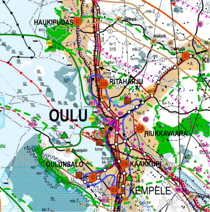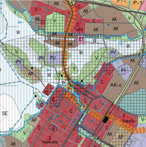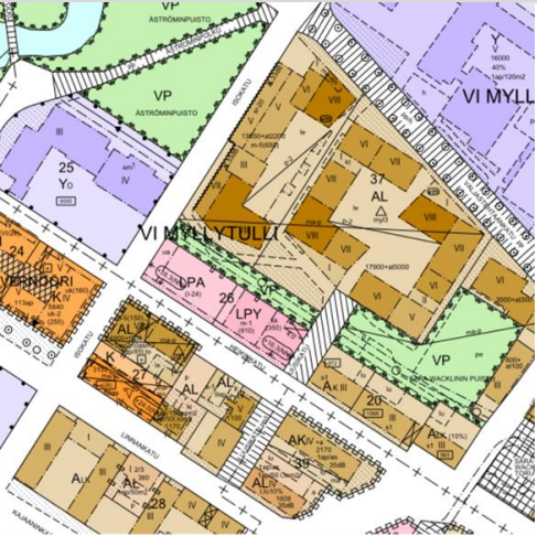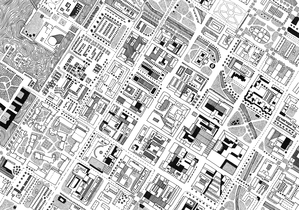
Planning enables the growth of the city, creates vitality and well-being. Master planning guides the urban structure of the city and matches different forms of land use together. Detailed planning shows the various land use reservations as well as the amount and dimensions of construction. When creating plans, we plan e.g., the location of residential areas, workplaces, services, green areas, and traffic.
Planning is an interactive process involving participants, planners, authorities and decision makers. Planning is often a matter of reconciling different needs, interests and even conflicts. The goal is to create a good living environment for everyone.
The Planning Review (Kaavoituskatsaus) describes the most significant planning projects that are underway and will soon start in Oulu. The Planning Review is updated annually. In the Planning in Oulu Guide (Kaavoitus Oulussa -opas), you can find summarised descriptions of the planning levels and the planning process.